Exploring nature together: REALM adventure begins!
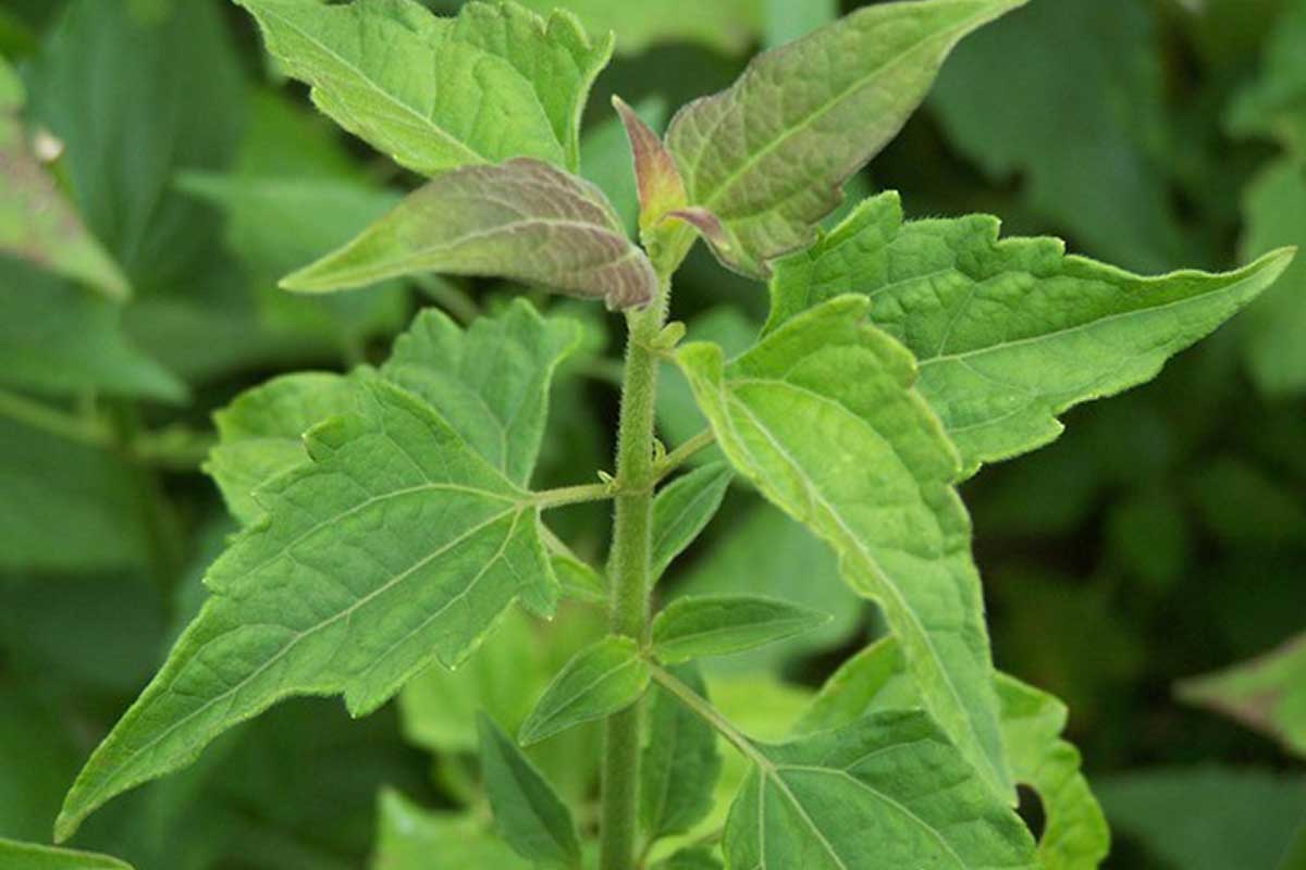
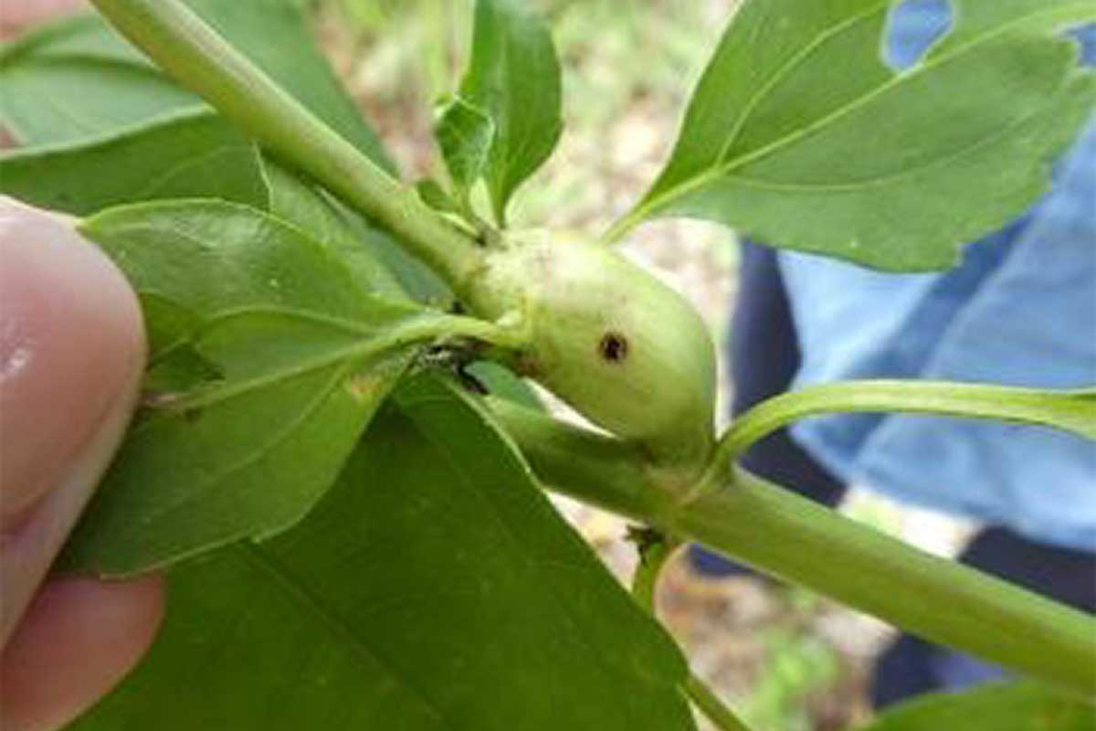
Imagine diving deep into the heart of our community, discovering the hidden wonders of our local ecosystems. REALM isn't just about mapping; its about discovery and learning the secrets of our natural world!
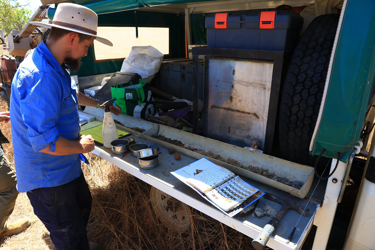
In collaboration with experts, scientists, and passionate individuals, REALM is mapping the essence of our region. It's not just mapping, it's a journey to safeguard our natural legacy. By learning about our unique biodiversity, we can preserve it and promoting sustainable living, and empowering informed decisions; we're nurturing our shared home.
For more information on the Regional ecosystem and landscape mapping program.