Declaration of Darwin Rural Adelaide River Water Control District
The boundary of the Darwin Rural Water Control District has been extended to include the Adelaide River catchment.
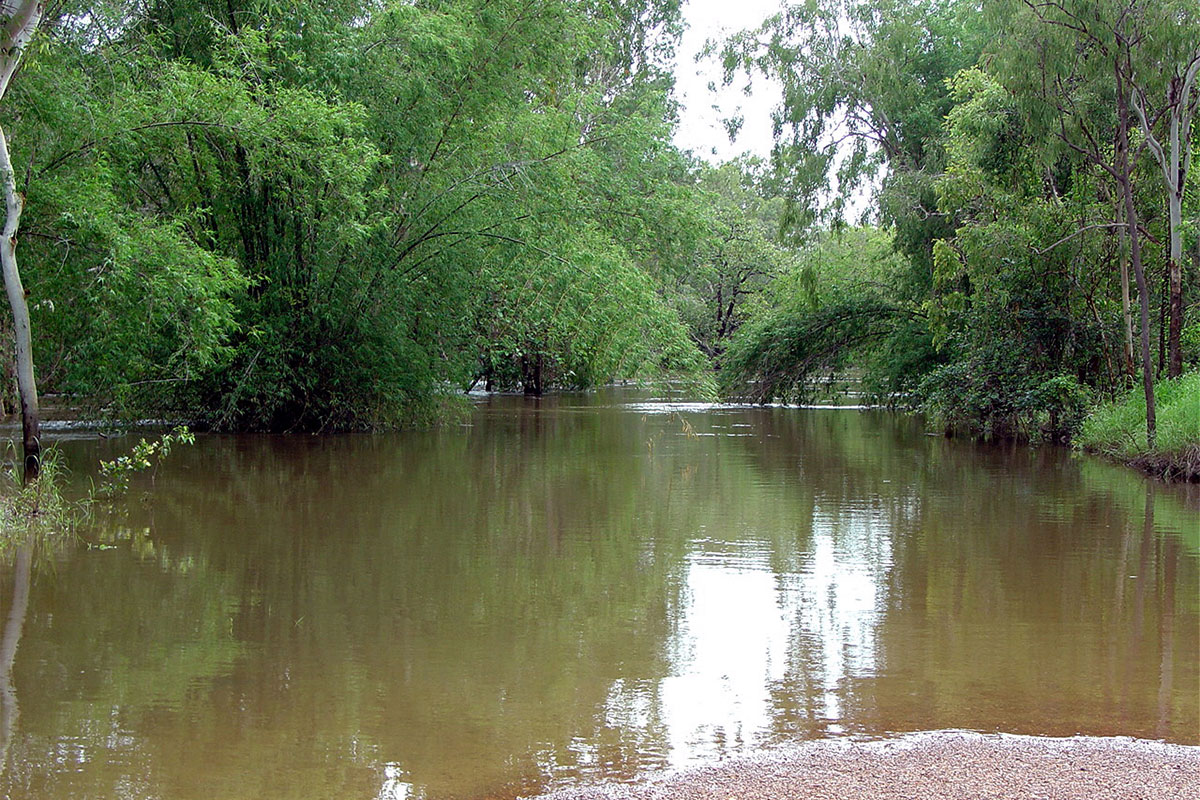
With the extension, the district now covers an area of 10 727 square kilometres and changes is renamed the Darwin Rural Adelaide River Water Control District.
Water control districts in the Northern Territory are declared in areas where there is strong competition for water and/or where water resources require closer management to minimise overuse of groundwater or detrimental impacts on river flows and wetlands.
The extension applies new water management rules to those accessing and utilising water in the water control district. This includes obtaining bore construction permits and water extraction licences, unless an exemption exists.
NOTE: Water taken for rural stock and domestic consumption is exempt from licencing, as is groundwater taken from outside the former Darwin Rural Water Control District in quantities of less than 5 Megalitres per year.
This means that any existing unlicensed commercial groundwater users or anyone wishing to access groundwater for commercial purposes in the Darwin Rural Adelaide River Water Control District must apply for a water extraction licence.
For further information on water licensing and permits, go to the Northern Territory Government website or send an email to water.licensing@nt.gov.au.
In accordance with the Water Act 1992, extending the water control district allows for a water allocation plan to be developed for Adelaide River. The plan will manage and regulate water use throughout the catchment which spans 7 640 square kilometres.
The Department of Environment, Parks, and Water Security, in collaboration with Charles Darwin University and the Northern Land Council, is conducting significant research to determine the water requirements of ecological assets and cultural values to inform the plan. The National Water Grid Authority is funding this study, which will include flow monitoring, water quality testing, fish surveys, eDNA sampling, floodplain and riparian habitat condition assessments, and the installation of new groundwater monitoring bores.
Hydraulic and hydrological models are also being built, allowing water extraction scenarios to be conducted to identify the potential impact on ecological assets and to determine the water available for the Adelaide River Off-stream Water Storage (AROWS) and inform the estimated sustainable yield and water management arrangements.
The department is in the process of forming a Water Advisory Committee to represent all important stakeholder interests in drafting the plan. Strong Aboriginal representation will ensure that the water allocation plan takes into account Aboriginal cultural, social, and economic concerns.
A draft of the plan will be available for public comment before it is finalised and declared in mid-2026.