A unique approach to land resource mapping over many decades delivers for the Northern Territory
Building our knowledge of the Northern Territory’s land resources over many decades using a unique approach to mapping has developed our land-based economy while protecting the environment.
The Northern Territory (NT) has a long and unique history of land resource assessment. In fact, the first integrated land resource mapping project of its kind in the world was carried out in the Katherine-Darwin Region in 1946. Over the past 80 years though, the department has steadily developed better mapping across extensive parts of the NT. Applying a uniquely integrated approach not used anywhere else in Australia, the Land Assessment Branch has mapped both soil landscapes and vegetation as a single entity. Given that the NT’s native vegetation is still largely intact, it was logical for soil and vegetation scientists to pool their knowledge to develop a comprehensive understanding of our land resources and their management needs.
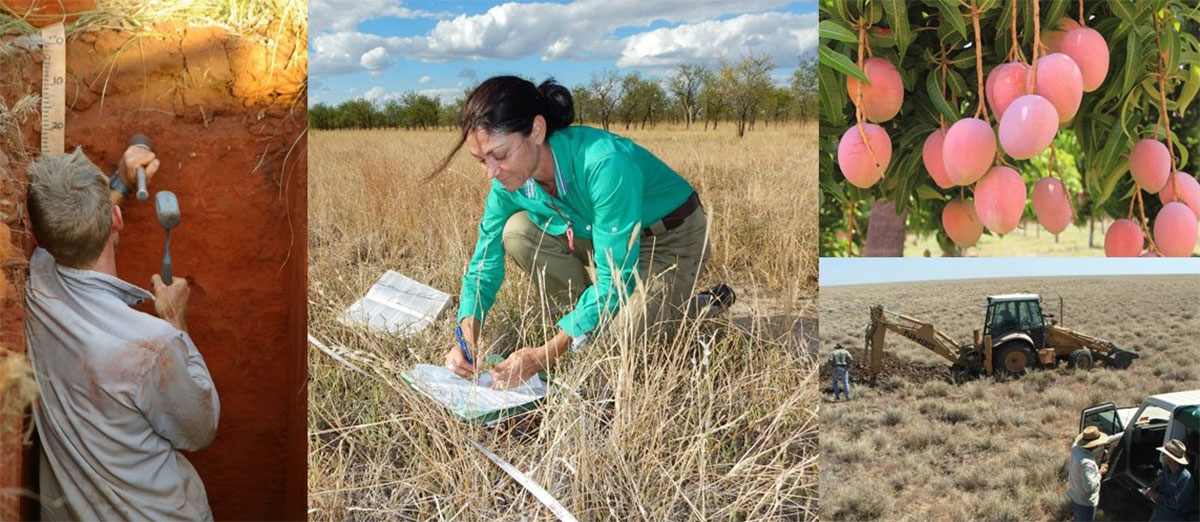
Detailed mapping across key areas has supported the establishment of horticultural and agricultural industries on our best soils, underpinned urban and peri-urban expansion in populated regions such as Darwin, Katherine and Alice Springs and supported sustainable pastoral land management across our vast rangelands. In partnership with the Anindilyakwa Land Council the department recently developed land resource mapping across the Groote Archipelago to assist Traditional Owners plan new ventures while identifying critical habitats for endemic species.
At the same time our information has prevented inappropriate developments on unsuitable land such as erodible, saline and acid sulfate soils whilst protecting sensitive and significant vegetation such as those associated with wetlands, floodplains, springs and rainforests. Land resource information is increasingly being used more broadly for a range of water and biodiversity issues, including irrigation efficiencies, improving our knowledge of water flows across catchments, and advancing our understanding of carbon stocks in our landscapes.
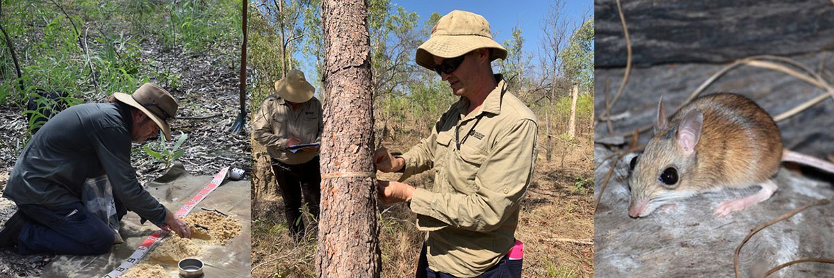
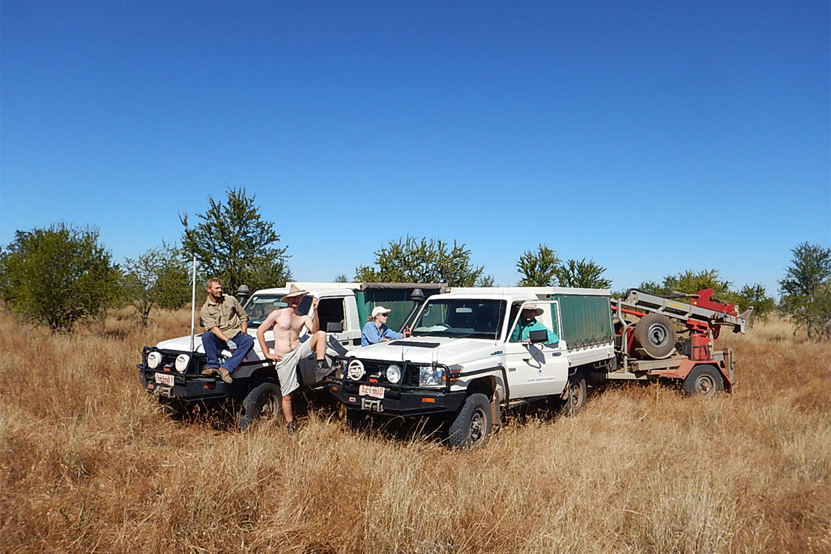
Staff have been carrying out extensive field work this dry season so expect to see them out and about in the following study areas for the remainder of the 2024 field season and into 2025.
- Coomalie Local Government Area – detailed mapping to support evidence-based land use planning.
- Litchfield Local Government Area – maintaining contemporary vegetation mapping to inform development thresholds.
- Keep River/Spirit Hills – develop a land resource inventory to inform national park declaration and ongoing management.
- Pine Creek area – Regional Ecosystem and Landscape Mapping (REALM) across the last land resource information gap in the Pine Creek-Adelaide River region.
- Agricultural research – collecting soil information to support agronomic and horticultural trials in the Lambells and Douglas Daly precincts.
- Climate change policy – vegetation biomass assessments in the Darwin, Daly and Roper River catchments to better understand carbon stocks.
- Pastoral research – establish new pasture trial sites in the Victoria River District and beyond to develop sustainable carrying capacities.
With the department continuing to fund one of Australia’s leading strategic land resource programs you can be assured that we will continue to build our knowledge of the NT’s vegetation and soils and how best to manage, develop and conserve this precious resource.
View mapping information XLSX (164.2 KB) - go to the download map column and view or save any map of interest or visit the webpage to view reports and associated maps.