Understanding the Mataranka Water Allocation Plan
The draft Mataranka water allocation plan has been released by the Minister for the Environment and Water Security, for the public to have their say on the proposed limits to the amount of water that can be taken, as well as the water management and trading rules that apply.
A water allocation plan identifies the volume of water that must be protected to ensure the ongoing environmental requirements of the resource are able to be met, as well as defining the water available, and setting out the water management rules for use, trade and licence conditions.
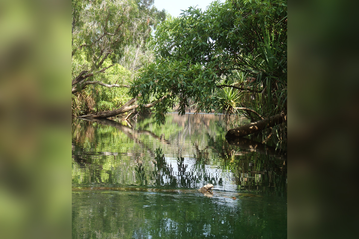
The plan specifically protects and manages groundwater of the Tindall Limestone Aquifer that provides the flows to the Roper River (and its system of springs and creeks) during the dry season. This includes the Mataranka Township, and the Rainbow and Bitter Springs.
The Tindall Limestone Aquifer and the Roper River have been subject to a continuous ground and surface water monitoring regime, groundwater investigations, and resource assessments undertaken over many decades. This information has informed the development of the plan, along with local input, from the water advisory committee.
The plan is comprised of 3 water management zones: North Mataranka, South Mataranka and Larrimah across an area of approximately 9,282 km².These areas are aligned to different hydrogeological characteristics of the aquifer, climatic conditions and environmental and ecological values. Different rules apply in the management zones, in recognition of these differences.
The North Mataranka and South Mataranka zones recognise the outstanding environmental values of the iconic Rainbow and Bitter Springs by preserving more than 90 per cent of the dry season flows to the Roper River to sustain them. In these zones no more water can be taken than is licenced today and licence holders will only be able to take their water if the environmental flows are met, which vary with the climatic conditions.
In the Larrimah zone the amount of water stored underground is increasing, the water moves much more slowly and terrestrial ecosystems do not rely on the water within the Tindall Limestone aquifer. This provides the opportunity for development in the region with less environmental impact.
Aboriginal economic development in the plan area is supported with up to 11,171 ML per year of water allocated to the Aboriginal Water Reserve. Aboriginal businesses in the plan area currently hold entitlements of 6,600 ML per year, which are in addition to the water available through the Aboriginal water reserve.
The plan also recognises the importance of identifying cultural heritage values and measures to safeguard these in a culturally appropriate way. The Wubalawun, Yangman, Mangarrayi and Jawoyn people have deep spiritual connection with the regions many springs, soaks, billabongs, creeks, rivers and landscapes. This extends to Aboriginal people and groundwater dependent cultural values downstream of the plan area along the Roper River. While the process of developing the plan has had some input from local Aboriginal people, ongoing participation of Aboriginal people is a key focus. This work has been identified in the Implementation Actions.
Is there water available for a licence?
No water is available for licensing in the North Mataranka and South Mataranka water management zones at this stage; the trading of water may be an available option. The Larrimah management zone has water available for licensing.
Have Your Say before 3 June 2024, to contribute to the long-term sustainability of this critical water resource by visiting the Have your say website.