Widespread water monitoring in September
Water Monitoring staff were out and about collecting important water data across the Territory over the last week of September.
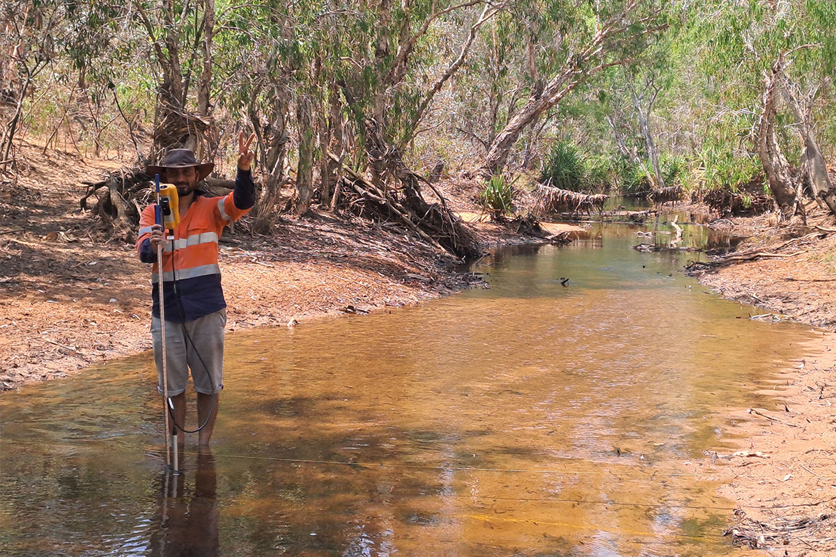
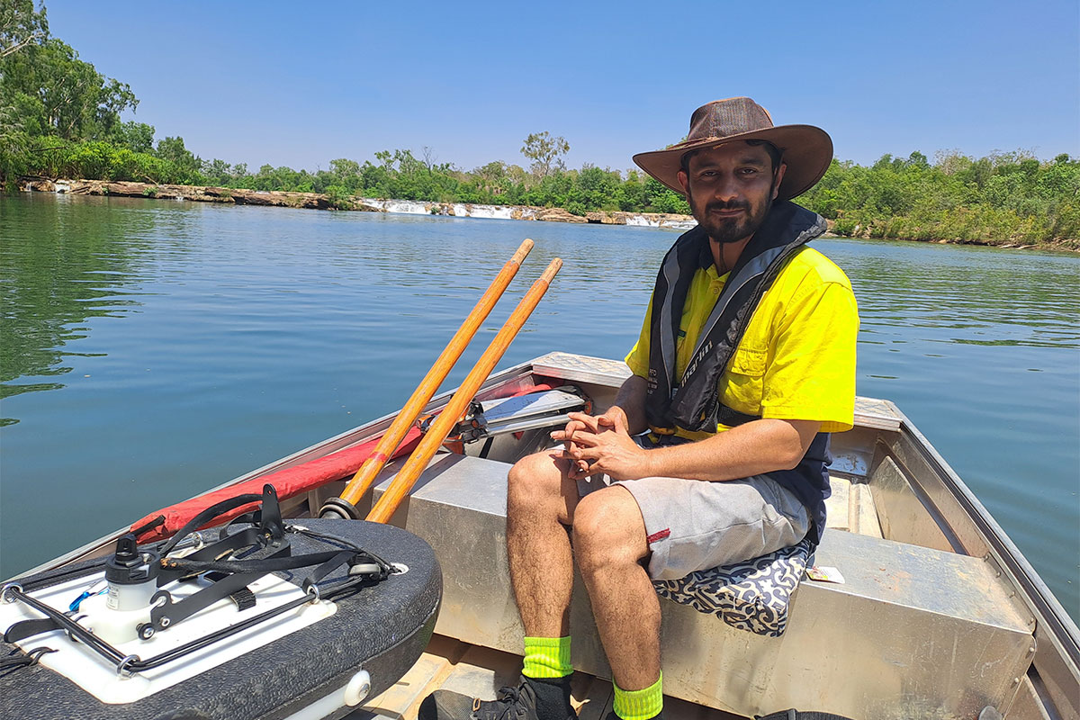
The three teams headed out across the Daly, Flora and Katherine Rivers to collect important water data. Over 5 days, the monitoring officers collected surface water data from 38 sites spread over the Katherine Oolloo area. This data is captured by in-situ loggers which continuously capture data, some of which can be viewed live on the Water Data Portal, and through manual measurements of depths and flows of rivers, springs and streams.
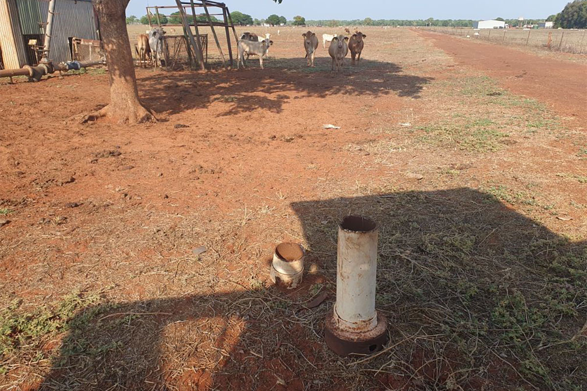
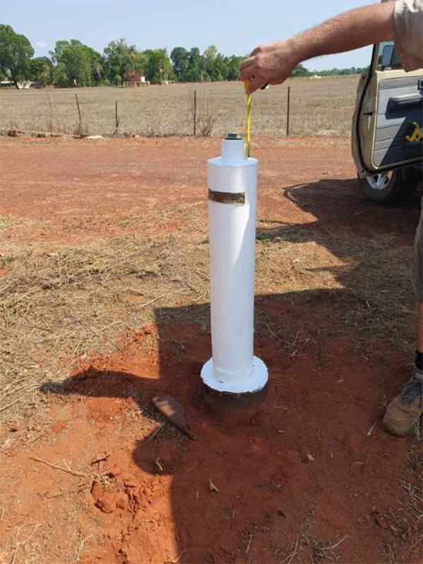
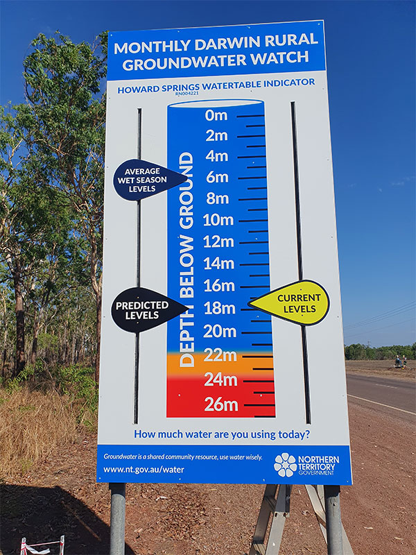
At the same time, the Darwin-based team was collecting data from bores in the Darwin Rural (14 bores) and Howard East (102 bores) areas. These two monitoring areas include sites in Howard East, Gunn Point, Lambell’s Lagoon, Berry Springs, Howard Springs, Humpty Doo and Fogg Dam. The data collected from the Darwin Rural Area is used to update the four Darwin Rural Area Groundwater signs in on Girraween Road (RN006325), Whitewood Road (RN004221), Cox Peninsula Road (RN029016) and Arnhem Highway (RN035972). The team was closely supervised when repairing bore casing (see photos).
The Alice Springs team was also out and about collecting groundwater data that informs water usage and licensing in the Alice Springs Water Allocation Plan. There are 104 bores (and 3 surface water sites) regularly monitored in Alice Springs with this many sites being visited in around two weeks. The team reported cooler conditions than usual, with water levels similar to previous years.
