

Floodplain maps
Floodplain maps are developed for residential areas located near rivers prone to flooding.
These maps show how deep and how far the water might go if the river overflows.
Below is a floodplain modelling and mapping diagram created for the following areas in the Northern Territory.
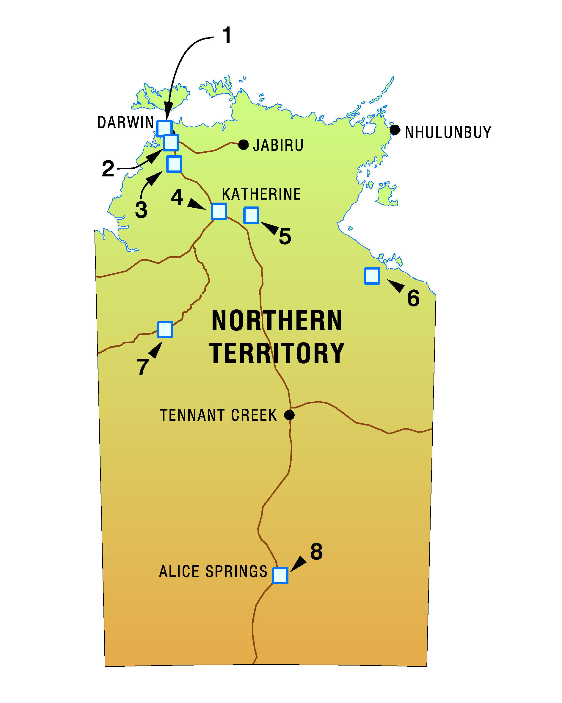
- Rapid Creek
Elizabeth and Blackmore Rivers
Adelaide River
Katherine River
Communities of Beswick, Mataranka, Djilkminggan and Elsey Station
Borroloola
Kalkarindji and Daguragu
Alice Springs
Contact
For more information, contact Development Assessment Services on 8999 6046.