

Barkly North
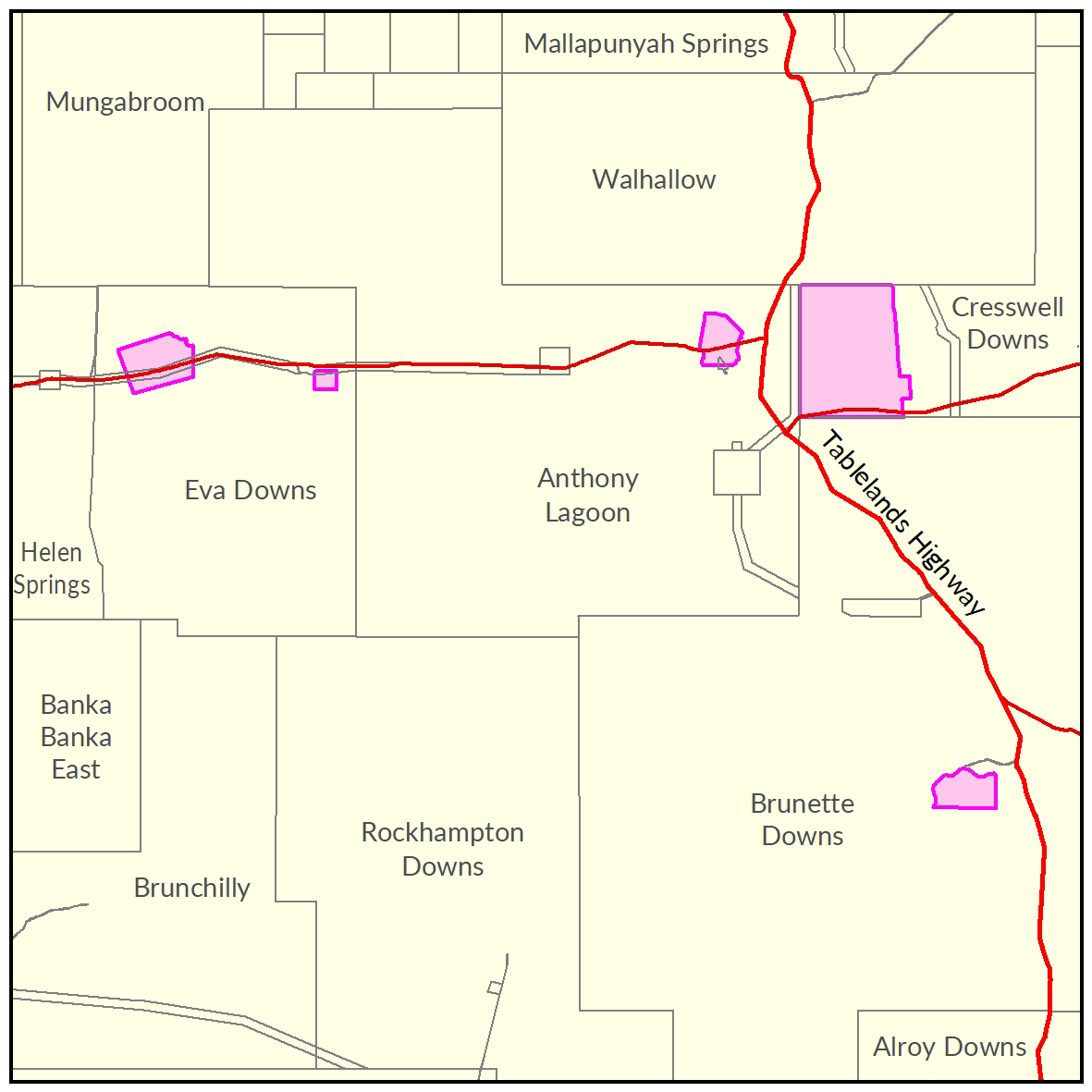
A soil and land suitability assessment is currently underway on 46,250ha of pastoral land along the Barkly Stock Route Road.
Once completed, a report and maps will be generated that document the soil and land factors likely to impact irrigated agricultural development and highlight the crops most suited to the study area.
View survey location on NR Maps.

View a larger version of the Barkly North locality map.
Water
The 'Georgina Basin Groundwater Assessment: Daly Waters to Tennant Creek report' is a technical report. It describes the hydrogeological characteristics of the Gum Ridge and Anthony Lagoon formations within the Georgina Basin. The report estimates water availability, bore yield and groundwater quality.
- Read the report on the Territory Stories website.
- View the Georgina Basin survey location on NR Maps.
Contact
For further information contact rangelands@nt.gov.au
Give feedback about this page.
Share this page:
URL copied!