

Gunn Point
In June 2020 the Department of Environment and Environment and Natural Resources completed a project to provide an integrated overview of the land capability, water availability and biodiversity assets of the Gunn Point area.
This project provides confidence about the biophysical resources and a baseline of information to inform investment decisions and effective regulatory decisions.
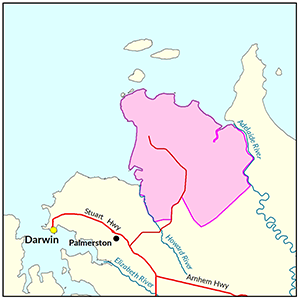
View a larger version of the Gunn Point locality map.
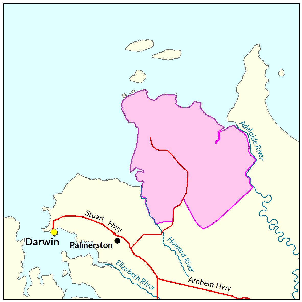
Development potential summary
With all weather road access, close proximity to transport hubs, workforce and planned provision for utilities and trunk services, the Gunn Point peninsula offers considerable opportunity for strategic industry, primary production, rural and residential development.
Key development potential facts
- 33,000ha has high to moderate potential for general development, nearly 20,000 ha of this land has access to a productive aquifer.
- Approximately 37,000 ha is not recommended for development due to physical or environmental land use constraints.
- Sufficient groundwater is available to sustainably support a modest horticultural precinct, potentially increasing the land currently under irrigated agriculture in the Litchfield municipality by 10% to 15%.
- In 2015 a NT Farmers Economics Profile estimated the Litchfield horticultural industry contributed $122 million annually to the local economy.
Information products
- Read the report on the Territory Stories website.
- View the summary map.
- Download the interactive map (pdf) and open it with Adobe Reader.
- View the survey location on NR Maps
- Download the spatial data package.
- View the development potential metadata.
- View the groundwater development potential metadata.
Informed by this project, the Northern Territory Planning Commission is reviewing strategic plans for the Gunn Point Peninsula and encourage the community to get involved and have their say. Find out more about the project at planningcommission.nt.gov.au
Information related to recreation, conservation, boating and fishing on Gunn Point land held by Northern Territory Land Corporation can be viewed at www.gunnpoint.com.au
Watch the development potential video for Gunn Point
Soil and land
2020 soil and land investigation
The following report and maps document the soil and land factors likely to impact irrigated agricultural development and highlight the crops most suited to the Gunn Point peninsula.
Note this work encompasses and expands upon the 2017 investigation area.
- Read the report on the Territory Stories website.
- View the map (pdf).
- Download the interactive map (pdf) and open it with Adobe Reader.
- Download the spatial data package.
- View the metadata.
2017 soil and land investigation
The following report and maps document the soil and land factors likely to impact irrigated agricultural development and highlight the crops most suited to portions of land totalling 7,619ha within the Gunn Point peninsula.
- Read the report on the Territory Stories website.
- Download the interactive map (pdf) and open it with Adobe Reader.
- Download the spatial data package.
- View the metadata.
- View the survey location on NR Maps.
Water
The following report and map provide technical details of the Groundwater Resources of the Gunn Point area. The report estimates groundwater availability, quality and bore yield within the study area.
- Read the report on the Territory Stories website.
- View the map (pdf).
- Download the spatial data package.
- View the metadata.
Vegetation
The following report documents the vegetation associated with the study area.
- Read the report on the Territory Stories website.
- Download the spatial data package.
- View the metadata.
Marine and coastal biodiversity
The following report is a desktop assessment of the marine and coastal biodiversity of the Gunn Point area. It identifies the current state of knowledge from a range of sources and the knowledge gaps that would need to be addressed to inform and assess any coastal development within the study area.
- Read the report on the Territory Stories website.
- Download the spatial data package.
- View the metadata.
Terrestrial biodiversity
The following report and map document the results of fauna and flora surveys within the study area, including occurrence and distribution of threatened species, significant habitat and biodiversity risk classes.
- Read the report on the Territory Stories website.
- View the map (pdf).
- Download the spatial data package.
- View the metadata.
Contact
For further information contact:
Simon Cruickshank
Phone: 08 8999 3676
Email: simon.cruickshank@nt.gov.au
Give feedback about this page.
Share this page:
URL copied!