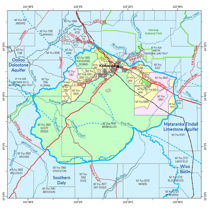
Katherine
A soil and land suitability assessment and biodiversity assessment for Katherine was undertaken during 2018-22 and the Biodiversity assessment of the Katherine area report was published in 2024.
These products were integrated with the Katherine Tindall Limestone Aquifer Water Allocation Plan to provide a comprehensive overview of the biophysical resources within the Katherine Town Plan area.
For more information about the survey location, go to the NR Maps website.
Water
- Read the Katherine Tindall Limestone Aquifer Water Allocation Plan 2024-2026.
- Read the report on the Territory Stories website.
- Download the Daly Basin Aquifers map.
- Download the spatial data package.
- Read more the metadata, go to the NTLIS website.
- Find out about Tindall Aquifer survey location, go to the NR Maps website.
Contact
For further information contact:
Simon Cruickshank
Phone: 08 8999 3676
Email: simon.cruickshank@nt.gov.au
Give feedback about this page.
Share this page:
URL copied!
