

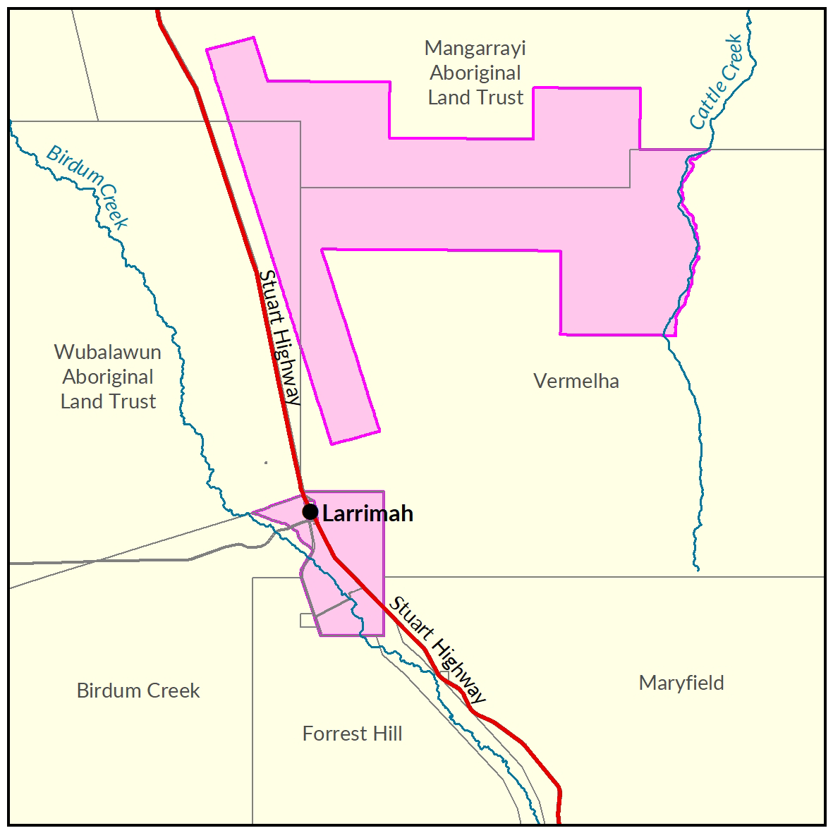
Larrimah
Two soil and land suitability investigations have been undertaken by the Department of Environment and Environment and Natural Resources.
The first survey was conducted in 2014-15 assessing 42,650ha approximately 5kms north east of Larrimah, referred to as the Larrimah area assessment.
The second investigation was conducted in 2018 assessing a further 5,930ha on crown lands surrounding the Larrimah township, referred to as the Larrimah Town assessment.
The two study areas combined identified 24,180ha of land being potentially suitable for a range of irrigated crops.
A Daly Basin groundwater resource assessment was completed in December 2015.
This assessment sought to gather information which would improve the understanding of the Tindall Limestone Aquifer underlying the region.
View the survey location on NR Maps.

View a larger version of the Larrimah locality map.
Soil and land
The following report and maps document the soil and land factors likely to impact irrigated agricultural development and highlight the crops most suited to the study area.
Larrimah area
- Read the report on the Territory Stories website.
- View the maps (pdf).
- Download the spatial data package.
- View the metadata.
- View the survey location on NR Maps.
Larrimah township
- Read the soil and land suitability assessment report on the Territory Stories website.
- Download the interactive map (pdf) and open it with Adobe Reader.
- Download the spatial data package.
- View the metadata.
- View the survey location on NR Maps.
Water
The 'Daly Basin Groundwater resource Assessment: North Mataranka to Daly Waters report' is a technical report assessing the Tindall Limestone aquifer underlying the region.
The report estimates groundwater availability, quality and bore yield and describes the likely impact of further extraction from the aquifer.
- Read the report on the Territory Stories website.
- View the map (pdf).
- View the Daly Basin Aquifers survey location on NR Maps.
Contact
For further information contact:
Simon Cruickshank
Phone: 08 8999 3676
Email: simon.cruickshank@nt.gov.au
Give feedback about this page.
Share this page:
URL copied!