

Lower Roper
Surveys for soil and land suitability assessment for irrigated agriculture for the southern Flying Fox Station (2021) have been completed in 2 parts.
Part A – Land Resources and General Land Capability
Part B – Digital Soil Mapping and Crop Specific Land Suitability
A survey of the soils of the upper Roper floodplains was conducted in 1976 assessing the suitability of the alluvial plains on Moroak Station for irrigation.
View the survey location on NR Maps.

View a larger version of the Lower Roper locality map.
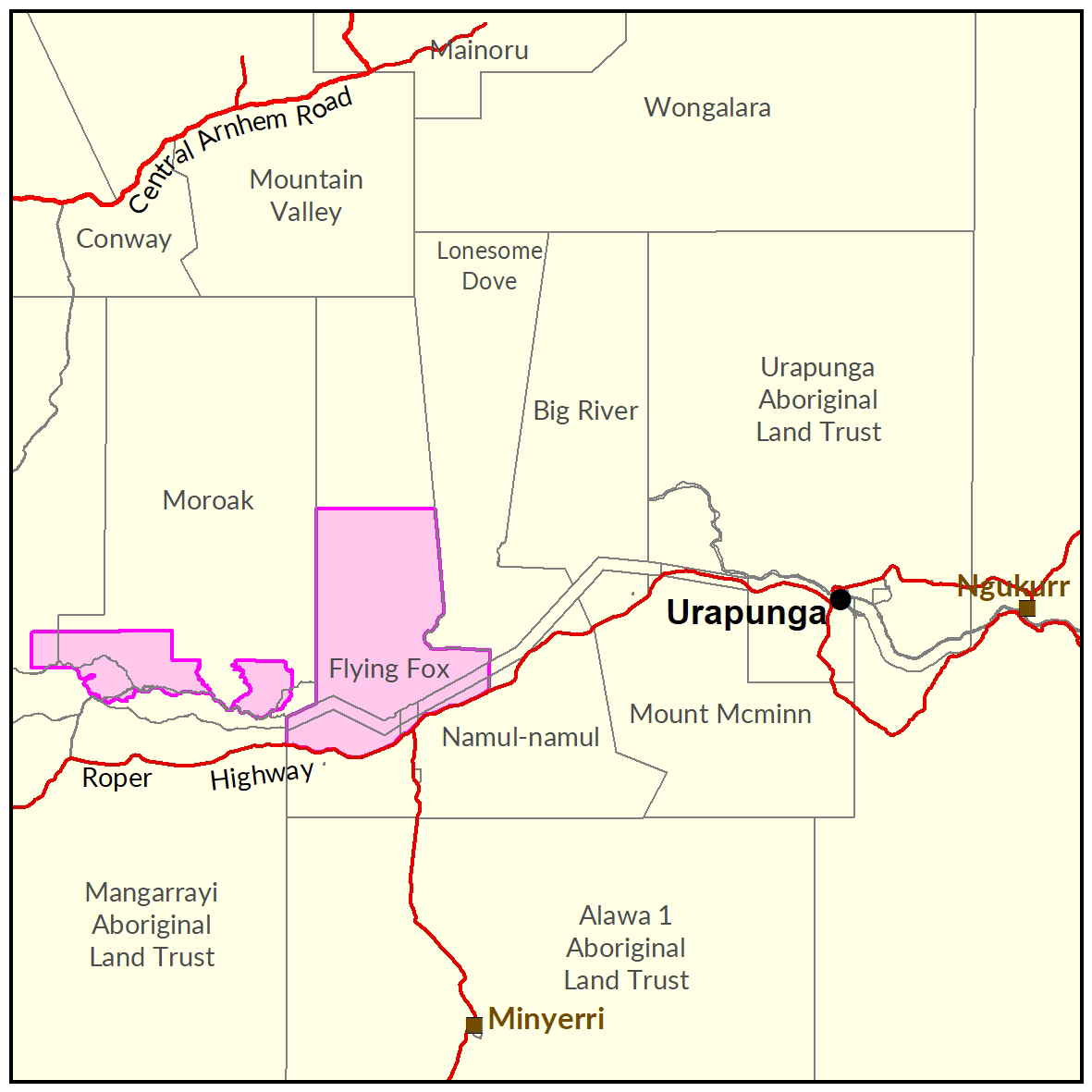
Soil and land
Soil and Land Assessment of the Southern Part of Flying Fox Station for Irrigated Agriculture
Part A: Land Resources and General Land Capability (2021)
The following report and information products document the soils and land capability assessment over the study area.
- Read the report on the Territory Stories website.
- View the maps (pdf).
- Download the spatial data package.
- View the metadata record
- View the survey location on NR Maps.
Soil and Land Assessment of the Southern Part of Flying Fox Station for Irrigated Agriculture
Part B: Digital Soil Mapping and Crop Specific Land Suitability (2021)
The following report and information products document the soils and land suitability for specific crops over the study area.
- Read the report on the Territory Stories website.
- Download the interactive map (pdf) and open it with Adobe Reader.
- Download the spatial data package .
- View the metadata record
- View the survey location on NR Maps.
Soils of the Upper Roper Plains – Moroak Station (1976)
A soil survey assessed the suitability of the alluvial plains on Moroak Station for irrigation.
- Read the report on the Territory Stories website.
- View the map (pdf).
- Download the spatial data package.
- View the metadata.
- View the survey location on NR Maps.
Vegetation
Vegetation Communities of the Southern Part of Flying Fox Station (2018)
The following report documents the vegetation associated with the study area in southern Flying Fox Station.
- Read the report on the Territory Stories website.
- Download the spatial data package.
- View the metadata.
- View the survey location on NR Maps.
Contact
For further information contact rangelands@nt.gov.au
Give feedback about this page.
Share this page:
URL copied!