

Wildman River
In 2015 the Department of Land Resource Management undertook a soil and land suitability investigation for irrigated agriculture in the Wildman River region.
Of the 34,304ha surveyed:
- 8,994ha was assessed as high class land for irrigated agriculture and
- 15,000 ha having high to moderate land capability.
Complementing this work, a water resource assessment was completed in 2016.
Complementing this work, a water resource assessment was completed in 2016 identifying two main aquifers in the study area, a shallow palaeovalley aquifer within the southern Mesozoic/Cenozoic strata and the deeper Koolpinyah Dolostone aquifer.
The Estimated Sustainable Yield from the palaeovalley aquifers is 2,000ML/yr and 4,000ML/yr from the Dolostone aquifer.

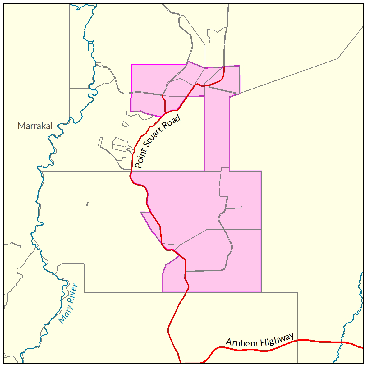
View a larger version of the Wildman River locality map.
Soil and land
The following report and maps document the soil and land factors likely to impact irrigated agricultural development and highlight the crops most suited to the study area.
- Read the report on the Territory Stories website.
- View the maps (pdf).
- Download the spatial data package.
- View the metadata.
- View the survey location on NR Maps.
Water
A water resource assessment provides understanding of the area's hydrogeology, including the extent and properties of the aquifers, regional groundwater flow patterns, baseflow characteristics and identification of groundwater dependent ecosystems.
Read the report on the Territory Stories website.
Contact
For further information contact rangelands@nt.gov.au
Give feedback about this page.
Share this page:
URL copied!